
Steele City topographic map
Interactive map
Click on the map to display elevation.
About this map
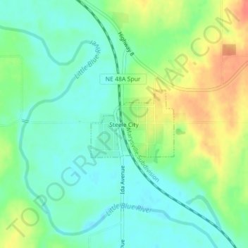
Name: Steele City topographic map, elevation, terrain.
Location: Steele City, Jefferson County, Nebraska, United States (40.03391 -97.02939 40.04123 -97.01758)
Average elevation: 394 m
Minimum elevation: 376 m
Maximum elevation: 424 m