
Circleville topographic map
Interactive map
Click on the map to display elevation.
About this map
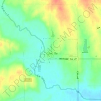
Name: Circleville topographic map, elevation, terrain.
Location: Circleville, Jackson County, Kansas, United States (39.50576 -95.86254 39.51240 -95.84917)
Average elevation: 347 m
Minimum elevation: 327 m
Maximum elevation: 376 m
Other topographic maps
Click on a map to view its topography, its elevation and its terrain.