
Debden topographic map
Click on the map to display elevation.
About this map
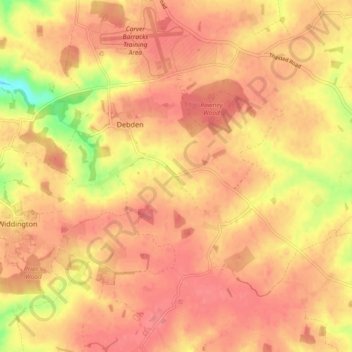
Name: Debden topographic map, elevation, terrain.
Location: Debden, Uttlesford, Essex, England, United Kingdom (51.94105 0.22913 51.99750 0.31299)
Average elevation: 108 m
Minimum elevation: 59 m
Maximum elevation: 127 m
Essex trails, hiking, mountain biking, running and outdoor activities