
Coopersville topographic map
Interactive map
Click on the map to display elevation.
About this map
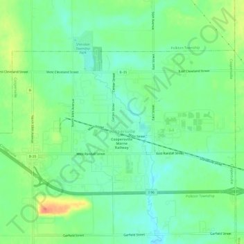
Name: Coopersville topographic map, elevation, terrain.
Location: Coopersville, Ottawa County, Michigan, 49404, United States (43.05260 -85.96688 43.07848 -85.90685)
Average elevation: 200 m
Minimum elevation: 183 m
Maximum elevation: 228 m
Other topographic maps
Click on a map to view its topography, its elevation and its terrain.