
Albisrieden topographic map
Interactive map
Click on the map to display elevation.
About this map
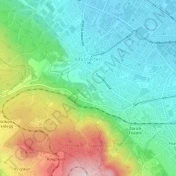
Name: Albisrieden topographic map, elevation, terrain.
Average elevation: 521 m
Minimum elevation: 407 m
Maximum elevation: 768 m
Other topographic maps
Click on a map to view its topography, its elevation and its terrain.
Belvoir
Suisse > Zurich > District de Zurich > Zurich
Belvoir, Enge, Kreis 2, Zurich, District de Zurich, Zurich, 8002, Suisse
Average elevation: 419 m