
La Longine topographic map
Interactive map
Click on the map to display elevation.
About this map
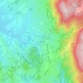
Name: La Longine topographic map, elevation, terrain.
Average elevation: 407 m
Minimum elevation: 285 m
Maximum elevation: 665 m
Other topographic maps
Click on a map to view its topography, its elevation and its terrain.
Corcelles
France > Bourgogne-Franche-Comté > Saône-et-Loire > Brion
Corcelles, Brion, Autun, Saône-et-Loire, Bourgogne-Franche-Comté, France métropolitaine, 71190, France
Average elevation: 435 m