
Buspriz topographic map
Interactive map
Click on the map to display elevation.
About this map
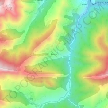
Name: Buspriz topographic map, elevation, terrain.
Location: Buspriz, Caso, Asturias, España (43.15193 -5.42042 43.19193 -5.38042)
Average elevation: 825 m
Minimum elevation: 489 m
Maximum elevation: 1,281 m
Other topographic maps
Click on a map to view its topography, its elevation and its terrain.