
陶乐镇 topographic map
Interactive map
Click on the map to display elevation.
About this map
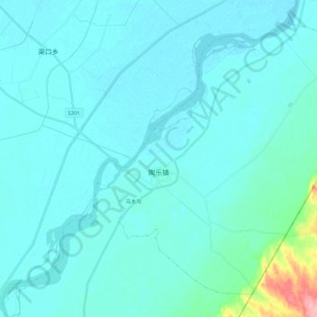
Name: 陶乐镇 topographic map, elevation, terrain.
Location: 陶乐镇, 平罗县, 石嘴山市, 宁夏回族自治区, 中国 (38.74924 106.64855 38.88652 106.85425)
Average elevation: 1,105 m
Minimum elevation: 1,095 m
Maximum elevation: 1,203 m