
都安县 topographic map
Interactive map
Click on the map to display elevation.
About this map
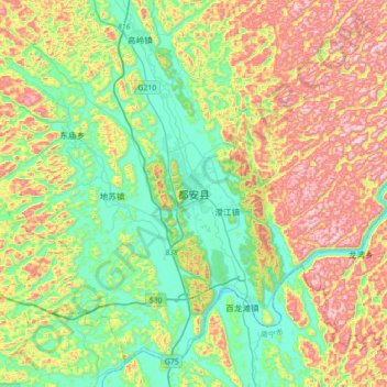
Name: 都安县 topographic map, elevation, terrain.
Location: 都安县, 都安瑶族自治县, 河池市, 广西壮族自治区, 中国 (23.77405 107.94082 24.09405 108.26082)
Average elevation: 343 m
Minimum elevation: 113 m
Maximum elevation: 744 m
Other topographic maps
Click on a map to view its topography, its elevation and its terrain.