
Torrenueva topographic map
Interactive map
Click on the map to display elevation.
About this map
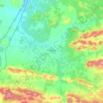
Name: Torrenueva topographic map, elevation, terrain.
Average elevation: 773 m
Minimum elevation: 695 m
Maximum elevation: 963 m
Other topographic maps
Click on a map to view its topography, its elevation and its terrain.
Los Arenales
Spanje > Castilië-La Mancha > Sierra Morena > Fuencaliente
Los Arenales, Fuencaliente, Sierra Morena, Ciudad Real, Castilië-La Mancha, Spanje
Average elevation: 923 m