
Tecumseh topographic map
Interactive map
Click on the map to display elevation.
About this map
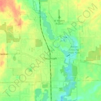
Name: Tecumseh topographic map, elevation, terrain.
Location: Tecumseh, Lenawee County, Michigan, 49286, United States (41.98898 -83.97463 42.02710 -83.90556)
Average elevation: 247 m
Minimum elevation: 226 m
Maximum elevation: 273 m