
Doland topographic map
Interactive map
Click on the map to display elevation.
About this map
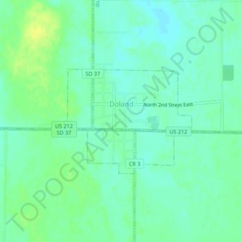
Name: Doland topographic map, elevation, terrain.
Location: Doland, Spink County, South Dakota, 57436, United States (44.88800 -98.10917 44.89968 -98.08958)
Average elevation: 416 m
Minimum elevation: 409 m
Maximum elevation: 427 m