
Saint-Martin-le-Vinoux topographic map
Interactive map
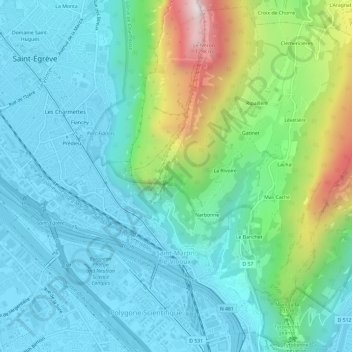
Click on the map to display elevation.
About this map
Name: Saint-Martin-le-Vinoux topographic map, elevation, terrain.
Average elevation: 437 m
Minimum elevation: 201 m
Maximum elevation: 1,251 m