
Jauro topographic map
Interactive map
Click on the map to display elevation.
About this map
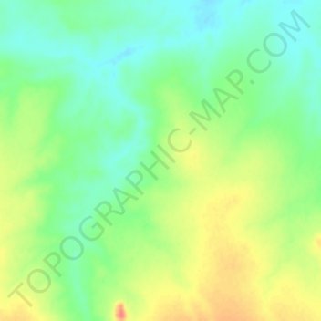
Name: Jauro topographic map, elevation, terrain.
Location: Jauro, Zaranda, Toro, Bauchi State, Nigeria (10.27265 9.33066 10.31265 9.37066)
Average elevation: 645 m
Minimum elevation: 624 m
Maximum elevation: 673 m