
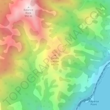
Jacobs Ladder topographic map
Interactive map
Click on the map to display elevation.
About this map
Name: Jacobs Ladder topographic map, elevation, terrain.
Location: Jacobs Ladder, Kaikoura, Canterbury, New Zealand (-42.22472 173.83358 -42.22462 173.83368)
Average elevation: 420 m
Minimum elevation: 0 m
Maximum elevation: 976 m