
Atakent topographic map
Interactive map
Click on the map to display elevation.
About this map
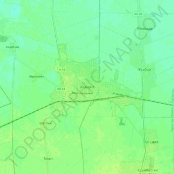
Name: Atakent topographic map, elevation, terrain.
Location: Atakent, Maktaaral District, Turkistan Region, Kazakhstan (40.80666 68.46166 40.88666 68.54166)
Average elevation: 263 m
Minimum elevation: 257 m
Maximum elevation: 268 m