Geolocate

Edgemoor topographic map

Click on the map to display elevation.

About this map

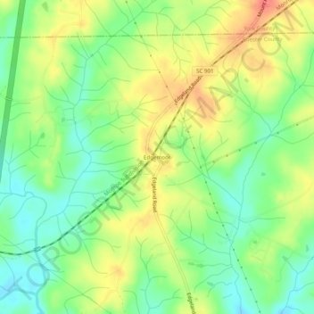
Name: Edgemoor topographic map, elevation, terrain.

Location: Edgemoor, Chester County, South Carolina, 29724, United States (34.78570 -81.03147 34.82570 -80.99147)

Average elevation: 165 m

Minimum elevation: 137 m

Maximum elevation: 199 m

Other topographic maps

Click on a map to view its topography, its elevation and its terrain.

Gear up for your next adventure:

🧼Camping Hygiene Kits - Compact hygiene essentials for outdoor stays
🥼Base Layers - Thermal base layers for temperature regulation
👖Convertible Hiking Trousers - Versatile zip-off pants for changing mountain weather conditions
🥫Expedition Meals - Lightweight, high-calorie nutrition for long-distance hikers
🧭GPS Trackers - Tracking devices for safety and navigation

As an Amazon Associate, this site earns from qualifying purchases at no extra cost to you.