
L'Hospitalet-près-l'Andorre topographic map
Interactive map
Click on the map to display elevation.
About this map
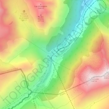
Name: L'Hospitalet-près-l'Andorre topographic map, elevation, terrain.
Average elevation: 1,893 m
Minimum elevation: 1,265 m
Maximum elevation: 2,571 m