
Holland topographic map
Interactive map
Click on the map to display elevation.
About this map
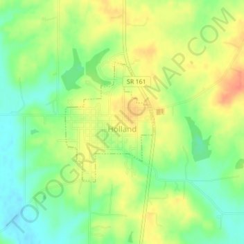
Name: Holland topographic map, elevation, terrain.
Location: Holland, Dubois County, Indiana, United States (38.23972 -87.04415 38.25299 -87.03163)
Average elevation: 155 m
Minimum elevation: 132 m
Maximum elevation: 178 m