
Raset topographic map
Interactive map
Click on the map to display elevation.
About this map
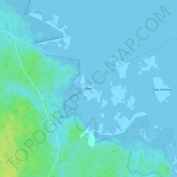
Name: Raset topographic map, elevation, terrain.
Location: Raset, Östhammars kommun, Provincia de Upsala, Suecia (60.43154 18.11832 60.43578 18.12524)
Average elevation: 2 m
Minimum elevation: -4 m
Maximum elevation: 15 m
Other topographic maps
Click on a map to view its topography, its elevation and its terrain.