
Suan Phueng topographic map
Interactive map
Click on the map to display elevation.
About this map
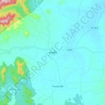
Name: Suan Phueng topographic map, elevation, terrain.
Location: Suan Phueng, Ratchaburi Province, 70180, Thailand (13.50115 99.29915 13.58115 99.37915)
Average elevation: 149 m
Minimum elevation: 96 m
Maximum elevation: 536 m