
Kamuchanga topographic map
Interactive map
Click on the map to display elevation.
About this map
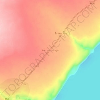
Name: Kamuchanga topographic map, elevation, terrain.
Location: Kamuchanga, Haut-Katanga, DR Congo (-9.04553 28.38697 -9.00553 28.42697)
Average elevation: 1,021 m
Minimum elevation: 911 m
Maximum elevation: 1,082 m