
Miller topographic map
Click on the map to display elevation.
About this map
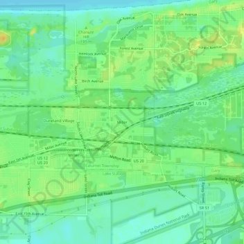
Name: Miller topographic map, elevation, terrain.
Location: Miller, Gary, Lake County, Indiana, 46403, United States (41.58226 -87.27837 41.62226 -87.23837)
Average elevation: 186 m
Minimum elevation: 175 m
Maximum elevation: 199 m