
Daat Island topographic map
Interactive map
Click on the map to display elevation.
About this map
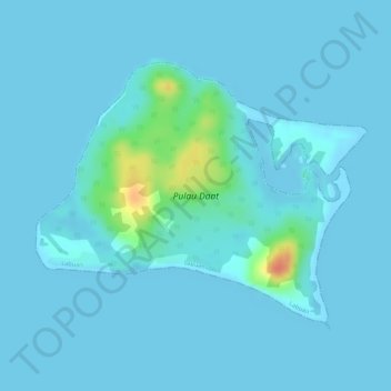
Name: Daat Island topographic map, elevation, terrain.
Location: Daat Island, Victoria, Labuan, Malaysia (5.26345 115.30630 5.28185 115.32933)
Average elevation: 5 m
Minimum elevation: -1 m
Maximum elevation: 51 m