
Stier topographic map
Interactive map
Click on the map to display elevation.
About this map
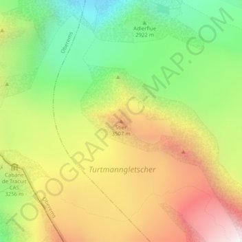
Name: Stier topographic map, elevation, terrain.
Location: Stier, Turtmann-Unterems, Leuk, Valais/Wallis, Zwitserland (46.13534 7.69656 46.13544 7.69666)
Average elevation: 3,161 m
Minimum elevation: 2,482 m
Maximum elevation: 3,942 m