
Beamer topographic map
Interactive map
Click on the map to display elevation.
About this map
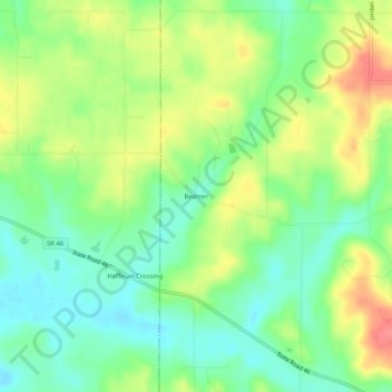
Name: Beamer topographic map, elevation, terrain.
Location: Beamer, Owen County, Indiana, United States (39.34671 -86.95751 39.38671 -86.91751)
Average elevation: 206 m
Minimum elevation: 178 m
Maximum elevation: 247 m
Other topographic maps
Click on a map to view its topography, its elevation and its terrain.