
Thimmapur topographic map
Interactive map
Click on the map to display elevation.
About this map
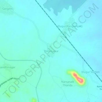
Name: Thimmapur topographic map, elevation, terrain.
Average elevation: 253 m
Minimum elevation: 239 m
Maximum elevation: 364 m
Other topographic maps
Click on a map to view its topography, its elevation and its terrain.
Sangem
India > Telangana > Sangem mandal
Sangem, Sangem mandal, Warangal District, Telangana, 506329, India
Average elevation: 253 m