
Miyashiro topographic map
Interactive map
Click on the map to display elevation.
About this map
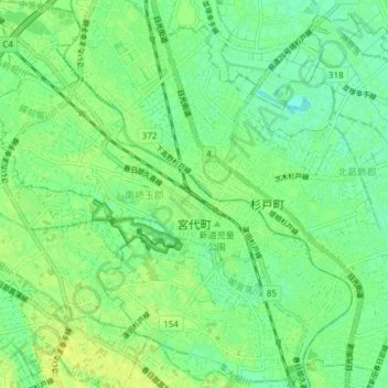
Name: Miyashiro topographic map, elevation, terrain.
Location: Miyashiro, 南埼玉郡, Préfecture de Saitama, Japon (35.99696 139.68251 36.05769 139.75315)
Average elevation: 9 m
Minimum elevation: 1 m
Maximum elevation: 17 m