
Lucht topographic map
Interactive map
Click on the map to display elevation.
About this map
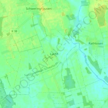
Name: Lucht topographic map, elevation, terrain.
Average elevation: 44 m
Minimum elevation: 37 m
Maximum elevation: 53 m
Other topographic maps
Click on a map to view its topography, its elevation and its terrain.
Kirchdorf
Duitsland > Nedersaksen > Landkreis Diepholz
Kirchdorf, Samtgemeinde Kirchdorf, Landkreis Diepholz, Nedersaksen, 27245, Duitsland
Average elevation: 43 m