
Sakhor Tokane topographic map
Interactive map
Click on the map to display elevation.
About this map
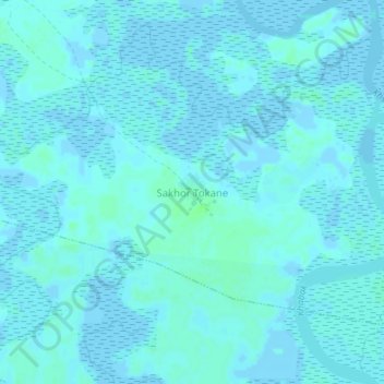
Name: Sakhor Tokane topographic map, elevation, terrain.
Location: Sakhor Tokane, Fatick, Fatick Region, Senegal (14.21166 -16.53976 14.25166 -16.49976)
Average elevation: 1 m
Minimum elevation: -3 m
Maximum elevation: 6 m