
Thaba-Bosiu topographic map
Interactive map
Click on the map to display elevation.
About this map
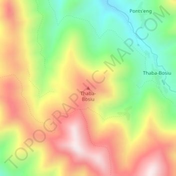
Name: Thaba-Bosiu topographic map, elevation, terrain.
Location: Thaba-Bosiu, Distrikt Thaba-Tseka, Lesotho (-29.74532 28.48464 -29.74522 28.48474)
Average elevation: 2,547 m
Minimum elevation: 2,263 m
Maximum elevation: 2,835 m