
جبل طويق topographic map
Interactive map
Click on the map to display elevation.
About this map
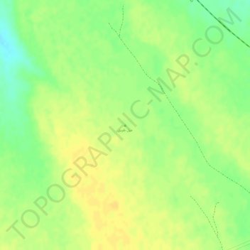
Name: جبل طويق topographic map, elevation, terrain.
Location: جبل طويق, Az Zulfi, Provinz Riad, Saudi-Arabien (26.37189 44.82967 26.37199 44.82977)
Average elevation: 693 m
Minimum elevation: 676 m
Maximum elevation: 702 m