
后汪寨 topographic map
Interactive map
Click on the map to display elevation.
About this map
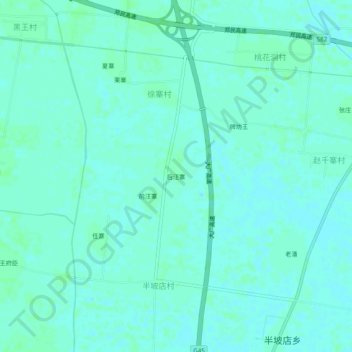
Name: 后汪寨 topographic map, elevation, terrain.
Location: 后汪寨, 徐寨村, 祥符区, 开封市, 河南省, 中国 (34.62664 114.46898 34.66664 114.50898)
Average elevation: 69 m
Minimum elevation: 66 m
Maximum elevation: 71 m