
Huldange topographic map
Interactive map
Click on the map to display elevation.
About this map
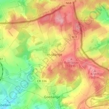
Name: Huldange topographic map, elevation, terrain.
Location: Huldange, Troisvierges, Canton Clervaux, 9964, Luxembourg (50.14371 5.99409 50.18371 6.03409)
Average elevation: 513 m
Minimum elevation: 450 m
Maximum elevation: 565 m