
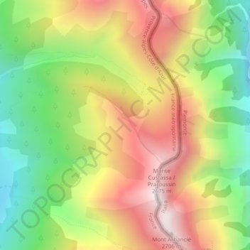
Ctete de Praroussin topographic map
Interactive map
Click on the map to display elevation.
About this map
Name: Ctete de Praroussin topographic map, elevation, terrain.
Average elevation: 2,214 m
Minimum elevation: 1,753 m
Maximum elevation: 2,706 m
Other topographic maps
Click on a map to view its topography, its elevation and its terrain.
Ristolas
France > Provence-Alpes-Côte d'Azur > Hautes-Alpes > Abriès-Ristolas
Average elevation: 2,375 m