Geolocate

Harmony topographic map

Interactive map

Click on the map to display elevation.

About this map

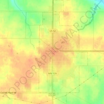
Name: Harmony topographic map, elevation, terrain.

Location: Harmony, Fillmore County, Minnesota, 55939, United States (43.54100 -92.01509 43.56878 -91.99705)

Average elevation: 404 m

Minimum elevation: 377 m

Maximum elevation: 417 m

Other topographic maps

Click on a map to view its topography, its elevation and its terrain.

Chatfield

United States > Minnesota > Fillmore County

Chatfield, Fillmore County, Minnesota, 55923, United States

Average elevation: 327 m

Rushford

United States > Minnesota > Fillmore County

Rushford, Fillmore County, Minnesota, 55971, United States

Average elevation: 255 m