
Lehigh Gap topographic map
Interactive map
Click on the map to display elevation.
About this map
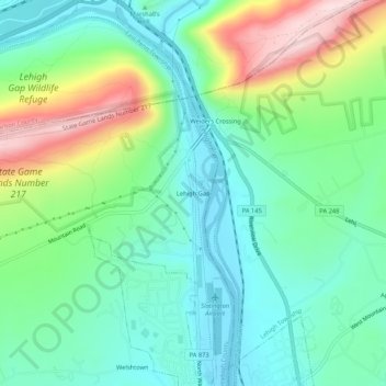
Name: Lehigh Gap topographic map, elevation, terrain.
Location: Lehigh Gap, Lehigh County, Pennsylvania, 18012, USA (40.75676 -75.62824 40.79676 -75.58824)
Average elevation: 211 m
Minimum elevation: 105 m
Maximum elevation: 458 m