Geolocate

Oulad Said l'Oued أولاد سعيد الواد topographic map

Interactive map

Click on the map to display elevation.

About this map

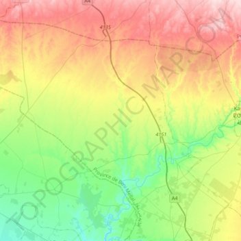
Name: Oulad Said l'Oued أولاد سعيد الواد topographic map, elevation, terrain.

Location: Oulad Said l'Oued أولاد سعيد الواد, caïdat d'Ouled Saïd Loued, cercle de Kasba Tadla, Ait Mellal Province, Béni Mellal-Khénifra, Morocco (32.47842 -6.62843 32.71471 -6.29697)

Average elevation: 518 m

Minimum elevation: 422 m

Maximum elevation: 655 m

Other topographic maps

Click on a map to view its topography, its elevation and its terrain.

Semguet

Morocco > cercle de Kasba Tadla

Semguet, caïdat d'Aït Rbaa, cercle de Kasba Tadla, Ait Mellal Province, Béni Mellal-Khénifra, Morocco

Average elevation: 595 m

Guettaya

Morocco > cercle de Kasba Tadla

Guettaya, caïdat d'Aït Rbaa, cercle de Kasba Tadla, Ait Mellal Province, Béni Mellal-Khénifra, Morocco

Average elevation: 521 m