
Newton Falls topographic map
Interactive map
Click on the map to display elevation.
About this map
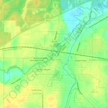
Name: Newton Falls topographic map, elevation, terrain.
Location: Newton Falls, Trumbull County, Ohio, United States (41.17072 -80.99538 41.21016 -80.95191)
Average elevation: 283 m
Minimum elevation: 268 m
Maximum elevation: 294 m
Other topographic maps
Click on a map to view its topography, its elevation and its terrain.
Niles
United States > Ohio > Trumbull County
Niles, Trumbull County, Ohio, 44446, United States
Average elevation: 280 m
Vienna Township
United States > Ohio > Trumbull County
Vienna Township, Trumbull County, Ohio, 44473, United States
Average elevation: 342 m
Burghill
United States > Ohio > Trumbull County > Burghill
Burghill, Trumbull County, Ohio, 44404, United States
Average elevation: 310 m