
Embalse de Pichi Picún Leufú topographic map
Interactive map
Click on the map to display elevation.
About this map
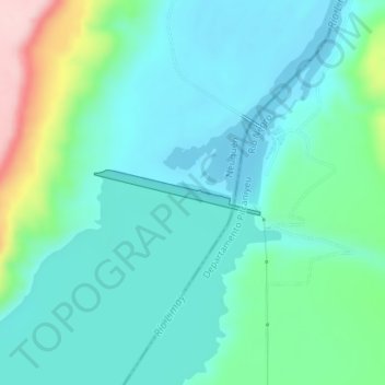
Name: Embalse de Pichi Picún Leufú topographic map, elevation, terrain.
Average elevation: 505 m
Minimum elevation: 452 m
Maximum elevation: 694 m