
Cady Hill topographic map
Interactive map
Click on the map to display elevation.
About this map
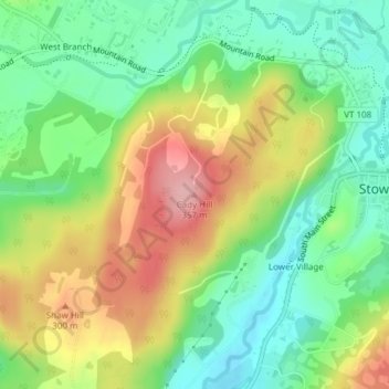
Name: Cady Hill topographic map, elevation, terrain.
Location: Cady Hill, Stowe, Lamoille County, Vermont, 05672, USA (44.46389 -72.70350 44.46399 -72.70340)
Average elevation: 255 m
Minimum elevation: 194 m
Maximum elevation: 341 m