
Worleston topographic map
Interactive map
Click on the map to display elevation.
About this map
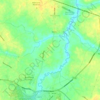
Name: Worleston topographic map, elevation, terrain.
Location: Worleston, Cheshire East, England, United Kingdom (53.07571 -2.53966 53.10991 -2.49845)
Average elevation: 42 m
Minimum elevation: 29 m
Maximum elevation: 53 m