
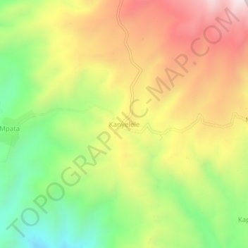
Kanyelele topographic map
Interactive map
Click on the map to display elevation.
About this map
Name: Kanyelele topographic map, elevation, terrain.
Location: Kanyelele, Rungwe, Mbeya, Southern Highlands Zone, Tanzania (-9.28086 33.74870 -9.24086 33.78870)
Average elevation: 1,482 m
Minimum elevation: 1,075 m
Maximum elevation: 1,912 m