
town topographic map
Interactive map
Click on the map to display elevation.
About this map
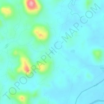
Name: town topographic map, elevation, terrain.
Location: town, Kono District, Eastern Province, Sierra Leone (8.78133 -11.30135 8.78143 -11.30125)
Average elevation: 353 m
Minimum elevation: 323 m
Maximum elevation: 481 m
Other topographic maps
Click on a map to view its topography, its elevation and its terrain.