
2nd Ward topographic map
Interactive map
Click on the map to display elevation.
About this map
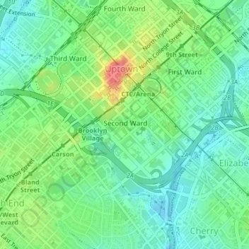
Name: 2nd Ward topographic map, elevation, terrain.
Location: 2nd Ward, Charlotte, Mecklenburg County, North Carolina, USA (35.21492 -80.85021 35.22720 -80.83331)
Average elevation: 219 m
Minimum elevation: 193 m
Maximum elevation: 273 m