
Colby topographic map
Interactive map
Click on the map to display elevation.
About this map
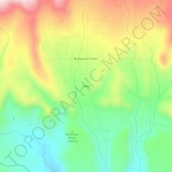
Name: Colby topographic map, elevation, terrain.
Location: Colby, Delta County, Colorado, USA (38.91165 -107.99534 38.95165 -107.95534)
Average elevation: 1,958 m
Minimum elevation: 1,775 m
Maximum elevation: 2,211 m