Geolocate

Grundir topographic map

Interactive map

Click on the map to display elevation.

About this map

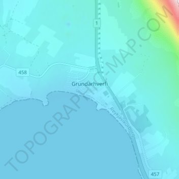
Name: Grundir topographic map, elevation, terrain.

Location: Grundir, Kjalarnes, Reykjavik, Capital Region, 116, Iceland (64.23539 -21.84198 64.24312 -21.82143)

Average elevation: 30 m

Minimum elevation: 0 m

Maximum elevation: 484 m

Other topographic maps

Click on a map to view its topography, its elevation and its terrain.

Engey

Iceland > Reykjavik

Engey, Reykjavik, Capital Region, Iceland

Average elevation: 0 m

Reykjavik

Iceland > Reykjavik

Reykjavik, Capital Region, 121, Iceland

Average elevation: 89 m

Vesturhöfn

Iceland > Reykjavik

Vesturhöfn, Vesturbær, Reykjavik, Capital Region, Iceland

Average elevation: 4 m

Hafravatn

Iceland > Reykjavik

Hafravatn, Hafravatnsvegur, Reykjavik, Capital Region, 270, Iceland

Average elevation: 109 m