
كتنة topographic map
Interactive map
Click on the map to display elevation.
About this map
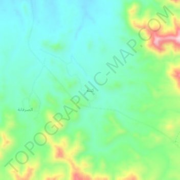
Name: كتنة topographic map, elevation, terrain.
Location: كتنة, Buraimi, Omán (24.11427 56.19583 24.15427 56.23583)
Average elevation: 700 m
Minimum elevation: 609 m
Maximum elevation: 927 m