
Flughafen topographic map
Interactive map
Click on the map to display elevation.
About this map
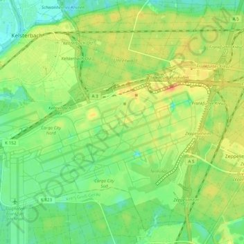
Name: Flughafen topographic map, elevation, terrain.
Location: Flughafen, Süd, Frankfurt am Main, Hessen, 60549, Deutschland (50.01535 8.51634 50.07087 8.61269)
Average elevation: 107 m
Minimum elevation: 89 m
Maximum elevation: 126 m
Other topographic maps
Click on a map to view its topography, its elevation and its terrain.
Innenstadt
Deutschland > Hessen > Frankfurt am Main
Innenstadt, Innenstadt 1, Frankfurt am Main, Hessen, Deutschland
Average elevation: 108 m
Frankfurt am Main
Deutschland > Hessen > Frankfurt am Main
Frankfurt am Main, Regierungsbezirk Darmstadt, Hessen, 60311, Deutschland
Average elevation: 162 m