
Reynolds topographic map
Interactive map
Click on the map to display elevation.
About this map
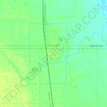
Name: Reynolds topographic map, elevation, terrain.
Location: Reynolds, Grand Forks County, North Dakota, United States (47.66250 -97.11586 47.67779 -97.10160)
Average elevation: 279 m
Minimum elevation: 270 m
Maximum elevation: 285 m
Other topographic maps
Click on a map to view its topography, its elevation and its terrain.
Grand Forks
United States > North Dakota > Grand Forks County
Grand Forks is 74 miles (119 km) north of the Fargo-Moorhead area and 145 miles (233 km) south of Winnipeg, Manitoba. Grand Forks is on the western bank of the Red River of the North in an area known as the Red River Valley. The term "forks" refers to the forking of the Red River with the Red Lake River near…
Average elevation: 255 m